
+1 (905)-301-9983
The Boleadora Group
Partnered Projects
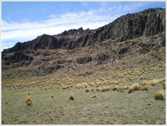
Photo courtesy of Kingsgate technical report
Commodity
Prospecting for Gold and Silver Low Sulphidation veins
Partner
Newmont (“Oroplata)
On June 9, 2020 – Magna Terra Minerals Inc. (“Magna Terra”), through its 100% owned Argentine subsidiary-Atala Resources S.A.(“Atala”) entered into an Agreement to sell its wholly owned Boleadora Project in Santa Cruz Province, Argentina, to Oroplata S.A.(“Oroplata”) a subsidiary of Newmont Corporation (“Newmont”). Newmont (Oroplata) will pay Magna Terra (Atala) US$1 million as follows: $25k on signing and six instalments totalling $975k payable within six years from the date of the Agreement. In addition, Newmont (Oroplata) has granted a 2% NSR to Magna Terra (Atala) on the Boleadora package. The royalty can be reduced to 1% by payment of US$2.5M by Oroplata to Atala at any time, and the gross royalty payable is capped at US$20M.
Location
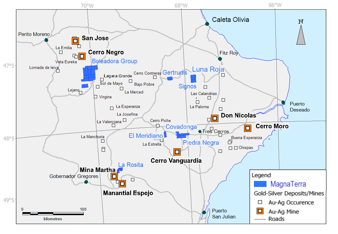
The Boleadora Group of properties is a large greenfield exploration land package lying approximately 17 kilometres south-east of Newmont’s Cerro Negro mine area in Santa Cruz Province, Argentina.
Project Operator
Newmont (Oroplata)
Property Information
The Boleadora Group is comprised of 12 exploration properties (55,000 Hectares.) The SEGEMAR 1:250,000 sheet shows the area as falling mostly within the favourable Jurassic Matilde and Chon Aike stratigraphy.
The package sits within the vicinity of multiple important mines and exploration projects including, Cerro Negro, San Jose, Virginia and Bajo Pobre. The properties, which were acquired from Minera Kingsgate Argentina in 2016 have several years of antiquity, but very little prospecting work, with Kingsgate geologists taking only 160 samples.
Geology
Our initial analysis of the area is based upon examination of Kingsgate sampling and mapping, public data from SEGEMAR and analysis of Thematic Mapper images, the latter being processed for lithological and structural interpretation as well as identification of zones of alteration. The SEGEMAR geology Map “Destacamento La Maria” indicates that the properties are dominated by the Chon Aike formation, however, Kingsgate geologists mapped the overlying Matilde Formation in several of the properties at the district scale.
The structural regime is dominated by NNW striking regional normal and strike slip structures with NW and WNW dilatational structures that are known to be favourable for mineralization in the Massif. Some of these structures appear, in satellite images, to form flower structures associated with intrusives and alteration. Our Thematic Mapper analysis defines 75 alteration pixel cluster anomalies, which we have combined to form maps of high probability for, reducing the number of hectares to visit from 50,000 to approximately 10,000.
We expect that including Boleadora into Newmont’s regional Cerro Negro exploration program, along with the application of their proven exploration technologies, will add significant value to the project, and ensure that it is advanced in the near term.
